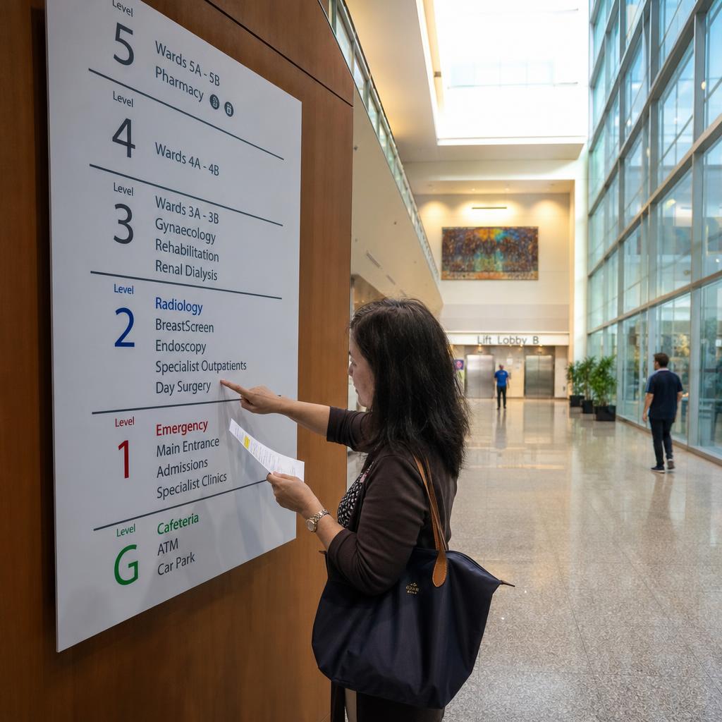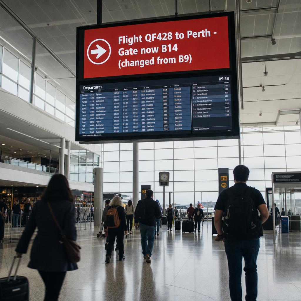
Airport digital wayfinding uses networked screens, kiosks and interactive directories to guide passengers through a terminal, with content updating automatically from live operational data rather than content someone has to change by hand.
The data sources are flight information display systems (FIDS), gate management platforms and delay feeds.
The distinction matters because an airport is one of the few places where the map itself changes dozens of times a day:
- Gates get reassigned
- Flights get delayed
- Security queues blow out
Static signage cannot keep up. Digital wayfinding treats the screen as a live output of the airport's operational systems, not a fixed sign that happens to be lit.
For the underlying design principles that make any wayfinding system easy to read and follow — hierarchy, colour coding, sightlines, decision-point placement — see our guide to wayfinding signage best practices. This article assumes those fundamentals and focuses specifically on what airport operators and IT teams need to get right when wayfinding has to integrate with live flight data, multiple terminal zones, and a genuinely diverse passenger base.
Why Does Static Signage Fall Short in a Terminal?
A mid-sized international terminal can see gate reassignments, delay updates and boarding status changes continuously across a single operating day. Printed signage and fixed directories can only reflect a snapshot of the schedule at the moment they were produced, which means airports either accept that some signage is wrong for parts of the day, or they carry the ongoing labour cost of physically updating it.
The passenger experience cost matters more than the labour cost.
Someone navigating an unfamiliar terminal is already managing time pressure, luggage and often a language barrier. When the signage they are relying on does not match the gate on their boarding pass, the result is confusion, backtracking and stress at exactly the point where clarity matters most.
Digital wayfinding does not need to promise dramatic before-and-after outcomes to be worth it. The case is straightforward: signage reflecting what is happening now, rather than what was scheduled hours ago, reduces the number of moments a passenger has to stop, second-guess a screen, or ask staff for help.
How Does Wayfinding Integrate With FIDS?
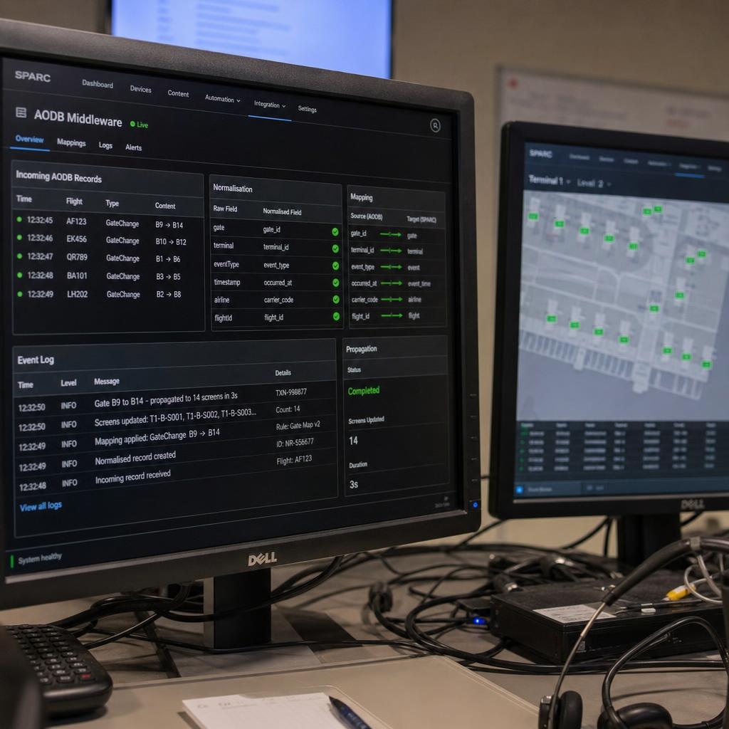
FIDS is the operational core that airport digital wayfinding needs to plug into. It's the system of record for flight status, gate assignments, check-in counter allocations, boarding calls and delay codes, and it's typically fed by the airport operational database (AODB), which in turn aggregates data from airlines, ground handlers and air traffic systems.
The question is rarely "can we get the data". Most FIDS platforms — including systems built on SITA, Amadeus Airport or ARINC-derived infrastructure — expose it through APIs, message feeds or database views.
The real work is the middleware layer:
- Normalising inconsistent field formats
- Mapping airline-specific gate and terminal codes to the physical signage network
- Deciding how the system behaves when a feed goes stale or the FIDS connection drops
A deployment connecting directly to raw FIDS output with no normalisation and validation layer is fragile. A single malformed record can propagate incorrect gate information across an entire terminal's screens.
For the general architecture of connecting a signage platform to external data sources — authentication, polling versus webhook patterns, and data transformation — see our piece on digital signage API integrations. SPARC's platform features are built around this kind of structured data integration, so airport IT teams aren't left building the normalisation layer themselves.
Real-Time Gate Changes and Delay Data
Beyond the baseline FIDS connection, airport wayfinding typically needs to consume several distinct data streams, each with its own update cadence and tolerance for latency:
- Gate assignment and reassignment data — needs to reach passenger-facing screens within seconds of a change being confirmed in the AODB, since a stale gate number sends passengers to the wrong part of the terminal.
- Delay and cancellation codes — usually less time-critical than gate changes but need to be reflected consistently across every screen a passenger might check, including departure boards, gate-area displays and any wayfinding kiosks showing flight-specific information.
- Security and immigration queue data — where available (from queue-sensing systems or manual operational input), this is lower-frequency but high-value content for helping passengers judge how much time they have.
- Baggage carousel assignments — relevant to arrivals-side wayfinding and typically sourced from the baggage handling system rather than FIDS directly.
Airport wayfinding is rarely a single integration. It is a small number of data sources feeding one content engine, each needing its own validation rules and its own fallback if the feed is delayed or unavailable.
A well-designed system degrades gracefully: if the delay feed drops out, gate information keeps updating rather than the whole display reverting to a generic error state.
Terminal Zone-Specific Content Design
One of the most consistent mistakes in airport wayfinding deployments is treating every screen in the terminal as if it needs to show the same information. Passengers have fundamentally different needs depending on where they are in the terminal, and content should be designed zone by zone rather than as one generic template rolled out everywhere.
| Terminal Zone | Primary Passenger Need | Content Type | Typical Update Frequency |
|---|---|---|---|
| Check-in | Locate the right counter, confirm check-in status | Counter-to-flight mapping, queue indicators, bag-drop guidance | Every 1–5 minutes |
| Security / immigration | Reduce uncertainty, know what's required | Queue wait estimates, document reminders, prohibited items | Every 1–2 minutes |
| Departure lounge / gate | Confirm boarding status, find the gate | Boarding call status, gate walk-time, delay and gate-change alerts | Real-time (seconds) |
| Arrivals / baggage | Find the right carousel, exit, transport | Carousel assignment, customs guidance, ground transport wayfinding | Every 1–5 minutes |
This zoning also affects where digital wayfinding is worth prioritising first. Gate-area and pre-security zones tend to justify the highest investment in real-time integration, since the cost of a passenger acting on stale information there is highest — missing a boarding call is a more serious failure than a slightly outdated queue estimate at check-in.
Multilingual Support for International Terminals
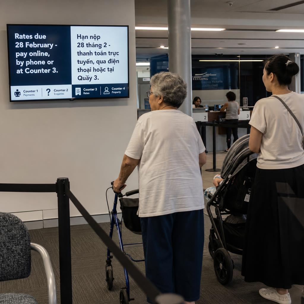
International terminals serve passengers who may not read the primary operating language of the airport at all, which makes multilingual content a functional requirement rather than a nice-to-have. Two approaches are common, and most mature deployments use both together.
Two approaches, and one refinement on top of them.
1. Icon-first design. Internationally recognised pictograms for directional and functional information — toilets, transport, customs, gates — so the core message does not depend on any language.
2. Rotating or selectable text. Screens cycle through a set of languages on a timer, or offer a language selector on interactive kiosks.
The refinement: some airports use passenger manifest data to bias the language rotation toward the nationalities most represented on flights departing that gate in the coming hours. A screen near a gate serving a route with many non-English-speaking passengers weights its rotation accordingly, rather than treating every gate identically.
The operational requirement behind this is a content management layer that treats language as a data dimension, not a set of separately maintained screens. Content — including live FIDS-driven updates — needs to be authored and updated once, with translations applied consistently rather than manually re-created for each language variant.
Accessibility Considerations in Airport Wayfinding
Airports are high-stakes environments for accessibility because the cost of a passenger missing critical information is a missed flight, not just an inconvenience. Digital wayfinding gives operators more accessibility options than static signage, but only if those options are deliberately designed in.
Three practical considerations:
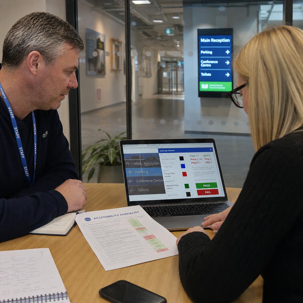
- Text size and contrast sufficient for low-vision passengers at realistic viewing distances
- Colour choices distinguishable for colour-blind passengers — particularly where colour indicates delay or gate-change status
- Mounting heights and kiosk interfaces usable by wheelchair users
Where interactive kiosks are used, audio output and screen-reader-compatible interfaces extend usability to passengers with vision impairment — and these should be tested as part of the deployment, not treated as an afterthought.
Digital wayfinding complements tactile and braille signage, it does not replace it, in the areas where physical regulatory signage requirements apply. The two systems serve overlapping but distinct needs.
Architecture Requirements for IT and Operations Teams
Airport terminals run 24/7, and wayfinding downtime has a direct operational impact, which changes the standard signage deployment checklist considerably. A few requirements come up consistently in airport-grade digital signage architecture:
- Network segmentation — wayfinding traffic typically sits on a separate VLAN from airport operational systems, with a controlled, auditable integration point into FIDS/AODB rather than direct network access.
- Redundancy and failover — screens should have a defined fallback state (last known good data, or a generic terminal map) if the data connection drops, rather than going blank or showing an error.
- Uptime expectations — because terminals never fully close, maintenance windows and update deployment need to be handled without visible downtime on passenger-facing screens.
- Data residency and security — airports increasingly require hosting arrangements that meet local data governance expectations; SPARC's platform is hosted on AWS infrastructure in Sydney, which is relevant for Australian airport operators working through IT security and data residency approval processes.
- Content management access control — with multiple teams (operations, retail, airline partners) potentially contributing content to the same screen network, role-based access and approval workflows matter more than in a typical retail signage deployment.
Getting this architecture right up front avoids a common failure mode: a wayfinding rollout that looks impressive in a pilot zone but can't scale to full-terminal, full-time operation because the integration and redundancy work was treated as an afterthought.
If you're assessing what a FIDS-integrated wayfinding deployment would look like for your terminal, our features overview covers the integration, content management and multi-zone capabilities described above, and you can book a demo to walk through how it applies to your specific FIDS and AODB setup.
Airport digital signage and wayfinding FAQs
What data sources does airport digital wayfinding typically integrate with?
Most deployments integrate with the airport's FIDS and the underlying airport operational database (AODB) for flight status and gate data, and may also draw on baggage handling systems for carousel assignments and, where available, queue-sensing systems for security wait times. The FIDS/AODB connection is the core integration; the others are added based on what each terminal zone needs to show.
How quickly do digital wayfinding screens update after a gate change is issued?
This depends on the integration architecture, but well-built systems reflect gate changes within seconds of the change being confirmed in the AODB. The critical design factor is minimising the number of intermediate steps between the operational system recording the change and the passenger-facing screen rendering it.
Can digital wayfinding replace static signage entirely?
No, and most airports don't attempt this. Regulatory and safety signage, emergency exit indicators, and some baseline directional signage typically remain static or physical by requirement. Digital wayfinding is generally deployed for the content that genuinely benefits from real-time updates — flight-specific information, gate status, and dynamic directional guidance — while fixed signage continues to handle stable, non-changing wayfinding elements.
How is multilingual content managed on airport wayfinding displays?
Content is typically authored once in a content management system with translations applied as a data layer, so a single update (such as a gate change) propagates across every language variant automatically rather than requiring separate manual updates per language. Screens then rotate or allow selection between languages, often prioritised using flight manifest data for the gates they serve.
What accessibility standards apply to airport digital signage?
There's no single global standard, but airport digital wayfinding is generally expected to meet contrast, text-size and colour-differentiation guidance consistent with WCAG principles, alongside physical accessibility requirements for kiosk height and reach. Airports should confirm specific obligations with their local aviation and disability access regulators, since requirements vary by jurisdiction.
Who is responsible for maintaining wayfinding content once it's installed?
This varies by airport, but typically terminal operations or IT teams manage the platform and integrations, while day-to-day content (non-flight-data elements like retail promotions or terminal announcements) may be delegated to other departments through role-based access in the content management system. The FIDS-driven content itself should require little manual maintenance once the integration is configured correctly.
Does digital wayfinding integration require replacing our existing FIDS?
No. Digital wayfinding is designed to consume data from an airport's existing FIDS and AODB rather than replace them. The integration work sits in a middleware layer that connects to what's already in place, normalises the data, and feeds it to the signage network — existing operational systems stay as the system of record.
For the same approach outside airports, in hospitals, campuses, offices and public buildings, see SPARC's digital wayfinding and directory board software.